for Sustainable Communities
|
THE
WAY IT COULD BE
the traditional pattern with an ecological underlay
All of the pre-existing streams and their associated natural habitats have been saved, and new drainage corridors have been extended into the heart of each neighbourhood. The natural drainage/stream system (green) provides an alternative transportation network for pedestrians and bicycles that connects each part of the community. All residents are within a short walk of natural areas where healthy and unique ecosystems are protected, and non-point source pollution has been drastically reduced; per capita use of the automobile is reduced by up to half as walking, biking, and transit use have become safe, efficient and pleasant alternatives for all. In addition, the provision of inexpensive overland |
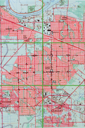
Click
map region to view detail
drainage in association with the recreation system means lower, shared costs and a more efficient system. The Traditional Pattern is more efficient and can accommodate many more families than can the Status Quo Pattern. A mix of accessory suites, duplex units, and other dwelling types is allowed in almost all residential zones. Most lots intended for detached structures are restricted to between 2,800 and 4,000 square feet. Much less land is required for streets, and homes with front porches are placed close to the sidewalk. Because the proportion of the house cost attributatble to infrastructure and land costs is much lower, homes cost much less and as a result more young families can afford to live here. Even though much of the natural quality of the area has been preserved the overall density of the community is relatively high at 13.4 units per acre . |
|
|
|
|
|
|