for Sustainable Communities
Case
Study: the
patterns applied
|
|
|
|
|
|
|
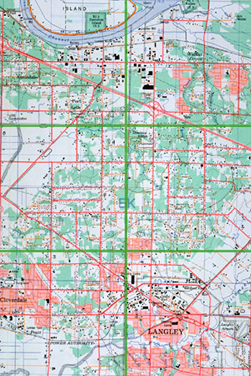
In the following section we offer two different
models of development for a 4600 hectare(11,500 acre) tract of sparsely
developed land in Langley Township, British Columbia. First we examine
the ecological and urban design consequences for this land if it
were developed in conformance with existing planning, engineering
and subdivision regulations. We then take the same land and examine
the ecological and urban design consequences for this landscape
if it were developed in conformance with an alternative set of regulations,
regulations specifically designed to encourage more sustainable
communities. Every attempt has been made to include the same information
for both types to allow for an easy comparison of the patterns.
|
|||||